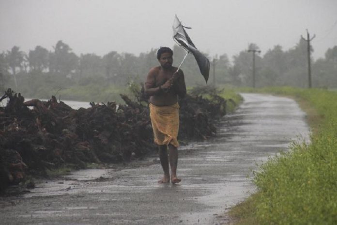
Heavy rainfall is likely in states across northeastern and eastern India during the next three days due to the strengthening of southwesterly winds and a cyclonic circulation over sub-Himalayan West Bengal and neighborhood at the lower tropospheric level, according to IMD.
The India Meteorological Department (IMD) has predicted “very likely” isolated heavy rainfall till June 10 in the entire northeastern region and several states in eastern India, in view of the southwest monsoon advancing further into the central Bay of Bengal. While fairly widespread rainfall activity has been predicted in states like Arunachal Pradesh, Assam, Meghalaya, and Manipur during the next three days, the met department said on Sunday that the monsoon has also advanced in the central Arabian Sea, covering several parts of the country, including more parts of Maharashtra, Telangana, Tamil Nadu, and Andhra Pradesh.
According to IMD, isolated heavy rainfall is likely over the following states in the next three days:
• June 7, Monday: Nagaland, Manipur, Mizoram, and Tripura
• June 8, Tuesday: Andhra Pradesh, Odisha
• June 9, Wednesday: Assam, Meghalaya, Odisha, sub-Himalayan West Bengal, and Sikkim
• June 10, Thursday: Gangetic West Bengal
Why is rainfall likely in these states?
Heavy rainfall is likely in these states across northeastern and eastern India during the next three days due to the strengthening of southwesterly winds and a cyclonic circulation over sub-Himalayan West Bengal and neighbourhood at the lower tropospheric level, according to IMD.
Elsewhere in India…
The met department further said that southwestern monsoon has also advanced in some more parts of Maharashtra, Telangana, and Andhra Pradesh, and entire Karnataka and Tamil Nadu, due to the southwest monsoon further advancing into the central Arabian Sea.
Widespread rainfall activity, accompanied by “thunderstorm, lightning, and gusty winds”, is also to be expected over parts of south peninsular India and the western coast. This, the IMD said, is due to the “influence of the off-shore trough at mean sea level from north Maharashtra coast to north Kerala coast and a cyclonic circulation over Konkan and Goa in lower tropospheric levels”. However, the rainfall activity in these parts is expected to keep reducing in intensity throughout this week, having peaked on Sunday


